Evanston’s Public Arts Map is an online documentation of Evanston’s broad assortment of murals, sculptures, collages and other forms of public art. The map provides a short description of each piece, a photograph of the work and demonstrates where to find it in Evanston.
The Evanston Arts Council created the map to “make public art more accessible to the local community and our visitors,” according to the map’s description.
Former chair of the public art committee, Gay Riseborough, created the current version of the map, which was first designed by a city intern in 2017.
Riseborough is a former portrait and figure painter and used her expertise to rewrite many of the original descriptions through an artist’s lens.
“I went back into (the map) and made corrections and found all sorts of art that were not put on the map,” Riseborough said.
The research and writing process took Riseborough two years.
Riseborough said she’s frustrated by the lack of attention she believes both public art and the map receives.
“I don’t think people care about the map,” she said. “I don’t think people use the map.”
The Evanston Arts Council recently discussed creating QR codes to boost community exposure, according to Riseborough. The QR codes would be installed next to the artwork and would link to the map.
James Deeb, a member of the council and the acting liaison to the public art working group, said the initiative is “only in the discussion stage,” as the group lacks the necessary funding to pursue the project.
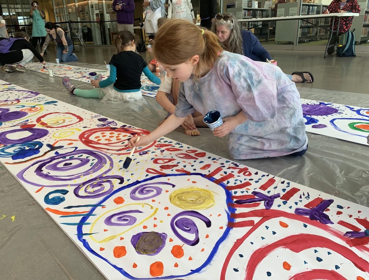
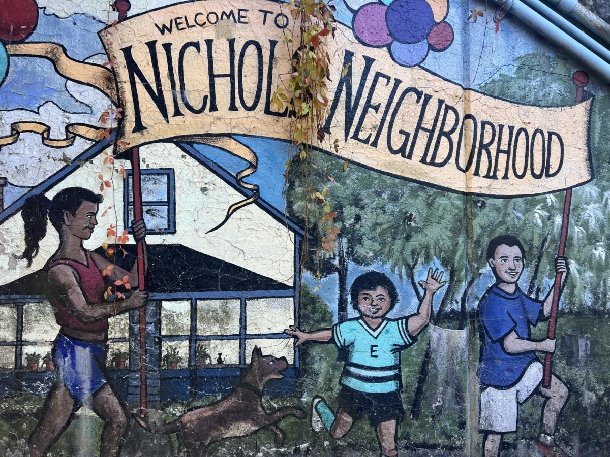
Many sites featured on the map are focal points for the Evanston community. Local artist Jim Parks worked with his neighborhood to create the “Nichols Neighborhood Mural” located on Greenleaf Street over a decade ago.
Community members were invited to contribute to the mural by painting their own squares.
“It was the most fun day of life,” Parks said. “We had a great time: kids, old people, everybody. We were all here. And when else do we all get together?”
After the community finished painting, Parks finished the mural by adding details with different textures and brush techniques.
But by 2016, graffiti and explicit drawings littered the mural. It was refurbished by a local Girl Scouts group with the help of Parks and Riseborough.
“(Riseborough) was out here painting away too. And I never met her before we became friends,” he said.
Riseborough said she believes more people in Evanston need to care about public art and its preservation.
“I would like to see Evanston known as a place for wonderful public art,” she said.
Email: [email protected]
Twitter: @SarahSerota
Related Stories:
— ‘Explorer’ statue of Du Sable finds its temporary home in Evanston