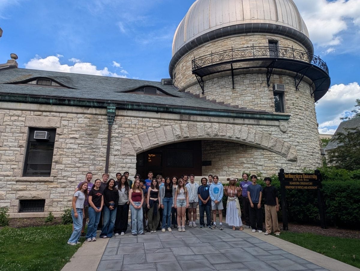
Northwestern’s American Society of Civil Engineers’ Surveying Team mapped the Lakefill on Saturday as preparation for an upcoming regional symposium.
Surveying is the science of mapping the Earth’s surface through measuring the relative distances and angles between designated points.
The six-member team set out to the Lakefill with a theodolite, a powerful surveying instrument, to practice measuring the distance between certain points in the area.
McCormick sophomore and Surveying Team member Samuel Morrissey described the theodolite lens as the “kind of camera your mom would bring to a nice event.”
“You can take a lot of different measurements from the same point, and that’s how you create a map,” Morrissey said.
The mapping Saturday served as practice for the 2026 ASCE Western Great Lakes Student Symposium, which takes place Thursday through Saturday in Minneapolis. NU ASCE’s Surveying Team will compete against 18 other student chapters in a series of competitions, including surveying.
McCormick sophomore and Surveying Team co-captain Alex Rosenzweig said the theodolite returns a CSV file with precise coordinates, which can then be used to create a 3D map.
Although surveying has existed for centuries, it is now increasingly automated and done by drones, Rosenzweig said.
Rosenzweig said the surveying team is going back to the fundamentals of surveying and “interacting with land.”
“I appreciate the physical aspect of it a lot more,” Rosenzweig said. “It’s quite fun doing the surveying. If you’re just flying a drone around, yeah, you get to fly a drone, but you’re not really there physically in the same way.”
For McCormick first-year and Surveying Team member Sydney Frazure, surveying the Lakefill exposed her to civil engineering and helped solidify her interest in pursuing the subject as a major.
Frazure said she enjoyed the hands-on experience more than engineering courses like Design Thinking & Communication, the two-quarter sequence required for McCormick first-years.
“It was a lot more fulfilling to do than DTC or the more general engineering classes,” Frazure said.
NU does not have a traditional surveying program, which makes obtaining equipment like a theodolite much more difficult, Rosenzweig said.
Rosenzweig said he traveled to Countryside, Illinois, to obtain the necessary equipment for Saturday’s survey and the upcoming conference. Countryside is located about two to three hours away from NU by public transportation.
During last year’s competition, Rosenzweig said the group did not have a theodolite, which meant they could not participate in several events. Still, they placed second in the topographic mapping portion of the competition.
“We just don’t have the resources,” Rosenzweig said. “There’s not a lot of people who are willing to supply surveying equipment. It’s a fairly niche subject.”
However, Rosenzweig said he still believes that surveying is invaluable and foundational to civil engineering.
“Everything civil engineers do is based on principles of surveying,” he said. “You need to understand the land to work with it. I just think it goes so underappreciated in so many fields because you’re kind of assuming that’s a given.”
Email: [email protected]
X: @Summer_Huu
Related Stories:
— Meet Concrete Canoe, the engineering club learning to make concrete float
— NU engineering students take home highest honor at NASA BIG Idea Challenge