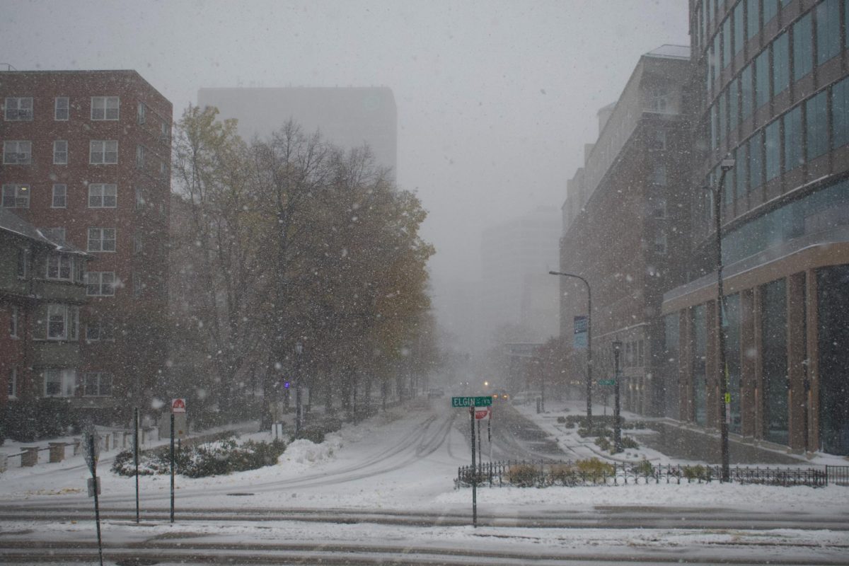
The National Weather Service issued a winter storm warning for Cook County on Friday, which will be in effect from 3 a.m. Saturday to 6 a.m. Sunday. The NWS forecasts that parts of the county will get about 6 to 10 inches of snow and winds reaching 30 mph.
The NWS also put out a hazardous weather outlook for the Chicago area on Friday due to predicted snowy and icy conditions. The outlook is set to last until Dec. 4.
Evanston is expected to see just over 6 inches of snow accumulate Saturday, Noel Rodriguez, the city’s public services bureau chief, wrote in a Friday Weather Notification email to residents. The first 3 inches are likely to accumulate by early afternoon, Rodriguez wrote.
The city’s Public Works Agency staff is set to begin anti-icing roads Friday night to prepare for the storm, Rodriguez’s email read.
In a Friday email to residents, the city requested voluntary parking compliance beginning Friday to allow for Public Works staff to clear main roads with ease. Residents are able to park in the downtown parking garage at 1800 Maple Ave. for free until Dec. 3, the email stated.
According to the NWS, the highest rates of snowfall in the area are expected Saturday afternoon.
On Sunday, the city may see flurries but isn’t expected to see additional snow accumulate, according to Rodriguez.
The NWS advised those traveling during the storm warning to expect impacts from the snowy conditions. It also warned those traveling by road to carry a flashlight and extra food and water in their vehicles and check road conditions ahead of time.
Email: [email protected]
X: @anavi_52
Related Stories:
— As temperatures teeter towards winter, students share tips to stay fashionable in cold weather
— Northwestern students react to first day of snow
— Gallery: Fantastic flurries greet NU for first snowfall of season