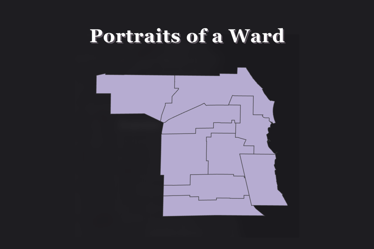
Wards don’t define Evanston, but they are essential to its functioning.
When Evanston became a city in 1892, seven wards of roughly equal population were drawn in accordance with the Cities and Villages Act of 1872, which defined the structure of municipalities in Illinois. To represent each ward, an alderperson would be elected to City Council.
The wards — which increased to nine in 1951 — have been regularly reevaluated following the release of census data each decade. Frequently, the council redistricts to account for significant population shifts, a process that last occurred in 2023. The boundary changes were based on the 2020 census, which showed an imbalance in resident numbers between the wards.
Redrawing the lines can be complicated. The 1st Ward illustrates this best — it included all of Northwestern’s campus in 1982, then only the southern half in 1992, then only buildings west of Sheridan Road in 2003, then a different cut of the southern half in 2023. Students who thought their voices were being diluted protested at a City Council meeting during the 2003 redistricting process, which took more than three months.
But ultimately, the tedium serves to make Evanston’s governance both more manageable and more fair. The 1992 and 2003 updates divided downtown Evanston into three wards, splitting the significant administrative burden of the business district. Recent maps have been drawn to preserve multiple wards with substantial populations of residents of color, giving effective voting power to historically marginalized communities.
The Daily last profiled the wards — with their 2003 borders — nine years ago. Following the first election with updated boundaries this April, we felt they deserved another look. Here is the 2025 Portraits of a Ward.
Email: [email protected]
Bluesky: @ryaninevanston.bsky.social
Related Stories:
— City Council approves $404 million 2026 fiscal budget, stalls plan for old Foster School building
— Mayor’s Awards for the Arts showcases artists’ spirit, imagination