City looks to redevelop land around Mayfair railroad, considers history of segregation
The city is considering how to revitalize land along the Mayfair Cutoff.
November 3, 2022
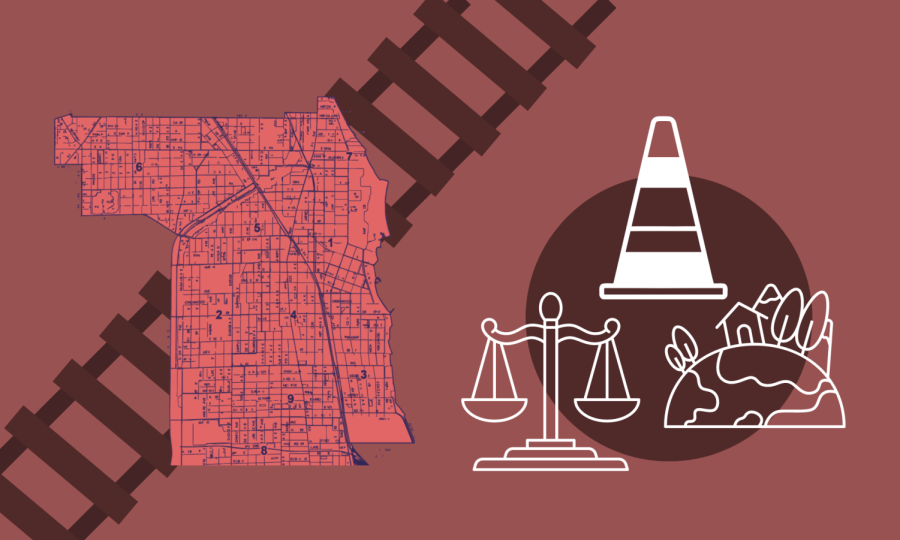
As Evanston aims to redevelop the Mayfair Cutoff, an abandoned railroad embankment running southwest through the city, experts and residents say the rail line has historically contributed to segregation.
The railroad, built by the Junction Railroad Company in 1889 as a bypass between the Chicago & North Western main line and Chicago’s Mayfair Junction, aimed to reroute freight traffic through largely vacant land in West Evanston.
Although the line was originally intended exclusively for freight train use, the city persuaded the C&NW to run limited passenger service with the goal of increasing property values around the railroad.
A century later, though, the Cutoff was completely abandoned. While much of the right-of-way no longer stands in Evanston, its legacy still looms large.
The railroad’s role in segregated Evanston
While Evanston was home to only about 125 Black residents in 1880 before the railroad was built, just 60 years later, it had Illinois’ largest suburban Black community.
As the Black community grew rapidly, some experts say the railroad helped define the racial makeup of local neighborhoods.
Throughout the 20th century, Evanston enacted many discriminatory practices including redlining policies, commercial development and restrictive covenants that consolidated Black residents into west Evanston, currently the city’s 5th Ward.
At the same time, the railroad served as a marker to help to solidify these lines, according to a 2018 study conducted by Citizens’ Greener Evanston in conjunction with Northwestern’s Students Consulting for Non-profit Organizations.
New research from Evanston’s Health and Human Services Department revealed that residents of the 5th Ward, which remains majority-Black, have a significantly lower life expectancy than their counterparts in predominantly white neighborhoods.
San Diego State University history Prof. Andrew Wiese researched the role of physical barriers in upholding racial segregation in Evanston. He found the CTA and the C&NW main line to be primary dividers in the 20th century.
“While I didn’t find the Mayfair Cutoff to be a boundary or barrier contributing to segregation, it certainly was a feature that contributed to one of the effects of segregation, which was a spatial advantage that people may have faced along the tracks,” Wiese said.
He pointed to the environmental hazards of living near railroad tracks, including noise and safety concerns, as one way the Cutoff may have compounded the effects of racial segregation in Evanston.
An initial plan for change
The city’s first attempt to develop the area along the railroad began 16 years ago. Following significant community input and external consulting, Evanston adopted the West Evanston Master Plan in May 2007 with the goal of redeveloping the geographic zone that runs southwest along the former rail line.
After the railway closed, pieces of the right-of-way were divided into small parcels and sold to private owners. However, it remained primarily unusable land; because the railroad ran diagonally across Evanston, the parcels were characterized by angular, narrow configurations and plagued by overhead power lines.
“They don’t have street frontage, really you can’t do anything on them,” Evanston Senior Project Manager Stefanie Levine said.
In an Oct. 10 memorandum to the city’s Planning and Development Committee, Zoning Administrator Melissa Klotz wrote that parts of the West Evanston Master Plan “are outdated, ineffective, and now create substantial barriers to the community revitalization they are supposed to encourage.”
As the city acquires more property along the right-of-way, Mayor Daniel Biss, Interim Director of Community Development Sarah Flax and Evanston residents have expressed a need to reevalute the plan.
A renewed attempt at revitalization
Evanston has spent the last several years acquiring parcels along the right-of-way through Cook County’s No Cash Bid Program. Officials intend to use the land more productively for West Evanston residents, using a process of community engagement to gather input on how the land should be used.
In its 2018 report, CGE suggested the city build a resident path or a community garden to “reconnect different populations of the City while creating green space for continued City sustainability efforts.”
Flax, who has overseen the city’s acquisition of these properties, said while Evanston has been successful in gaining access to some land, it is unlikely the city will obtain all of the parcels along the railway.
While the project is still in its infancy, the city green-lit a proposal to expand Mason Park, a public park where the railroad runs by Evanston Township High School, and redevelop the adjacent portion of the railroad.
The proposal was largely motivated by concerns about public safety as the park is frequented by ETHS students.
Eva Holland-Switchett, a 5th Ward resident who has lived in a house near Mason Park on and off for half a century, said the community treats the park differently due to its location in the historically Black portion of Evanston.
She said in parks located in historically white neighborhoods, people are allowed to break rules without repercussions. In Mason Park, that’s not the case.
“If you come to Mason Park and certain things happen, the cops will be here in no time,” she said.
As for the broader development of the railway, Ken Kastman, who serves on CGE’s Board of Directors and worked on the 2018 study, said he hopes the redevelopment of the railroad prioritizes the preservation of green space, public safety, environmental equity and justice and historical recognition.
“We have a very good chance to reconnect those pieces (and) use it as a connector rather than a divider,” Kastman said.
Email: [email protected]
Twitter: @jacob_wendler
Related Stories:
— City hires urban design firm to plan Mason Park expansion, develop Mayfair railroad
— NCDC dialogue on Evanston’s relationship with NU, history of segregation


