NU researchers help develop new model predicting the spread of COVID-19 in cities
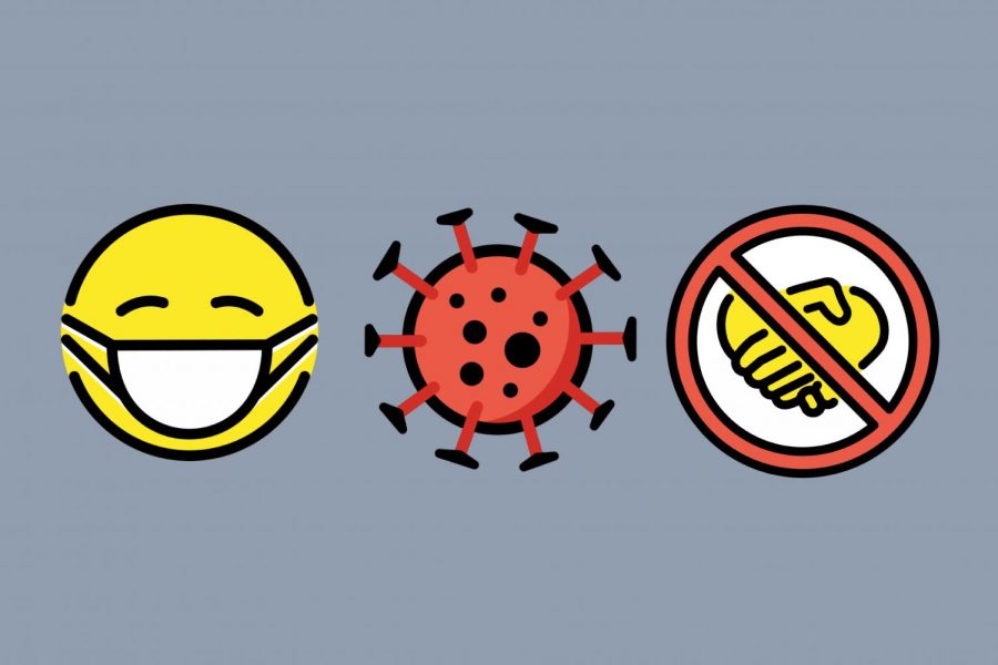
A team of researchers from Northwestern and Stanford University developed a model predicting how COVID-19 spreads in cities. They hope to use it to help cities devise reopening and closing plans to best reduce infection rates and disparities between groups.
November 20, 2020
A team of Northwestern and Stanford University researchers recently developed a computer model that predicts how COVID-19 spreads within cities.
The researchers accurately predicted the spread of the virus in 10 major cities this spring by analyzing three factors related to infection risk: where people go during the day, how long they are there and how many other people are at the same place at the same time.
The model is combined with demographic data from a database of 57,000 U.S. Census Bureau tracts, with each neighborhood containing 600 to 3,000 people.
Stanford Ph.D. candidate and first author of the paper Serina Chang said at the beginning of the simulation, each census block group starts with a low level of infection. Every hour, she said people are moved around following the mobility network.
Chang added that the model currently has a prediction on how many people within each census block group are infected and how many are susceptible to getting the virus.
“If you have both susceptible and infectious people at a point of interest at the same time, then there is some probability of infection, because some of the infectious people could infect the susceptible people,” Chang said.
The model simulates how many of the people categorized as “susceptible” became infected in the span of an hour and is run over and over again. After getting infected, the individuals then come back to their home census block groups, which also have a base rate of infection capturing household transition that has been modeled by the team, Chang said.
Stanford Prof. and paper author David Grusky said though there are epidemiological models modeling infection rates and cell phone analyses that examine where people are visiting, the power of this model resides in combining those two kinds of data.
What makes this model special, Grusky said, is how the team identified which types of places were exposing people to the largest risks.
“We wanted to get a targeted plan that would allow us to target places that put people at the most risk but have the least possible damage with respect to the economic side of the equation,” Grusky said.
The team found that 10 percent of the destinations account for 85 percent of infections within Chicago. Full-service restaurants, cafes and hotels are “superspreader” locations, or locations where people remain in close quarters for extended periods.
With this model and its findings, Grusky said the team hopes to help various cities with reopening and closing plans. He added that he and the rest of the team, including Weinberg Prof. Beth Redbird, are trying to identify reopening and closing strategies that reduce disparities between racial and ethnic groups and between income groups.
“This study demonstrates that the way low-income neighborhoods are constructed, with smaller establishments that serve more customers, is one of the drivers of racial and economic inequality in infections,” Redbird said in a news release. “It also shows that, by reducing density in these locations, we might reduce this disparity.”
Email: [email protected]
Twitter: @vivianxia7
Related Stories:
— Gender gap in COVID-19 unemployment may exacerbate gender inequality
— NUCATS funds Feinberg studies on COVID-19
— Northwestern researchers find a dramatic increase in food insecurity during COVID-19 pandemic